Please note this style of Adventurous Journey will no longer be offered after 31 July 2021, in line with the ending of the temporary changes implemented to support Participants during COVID restrictions.
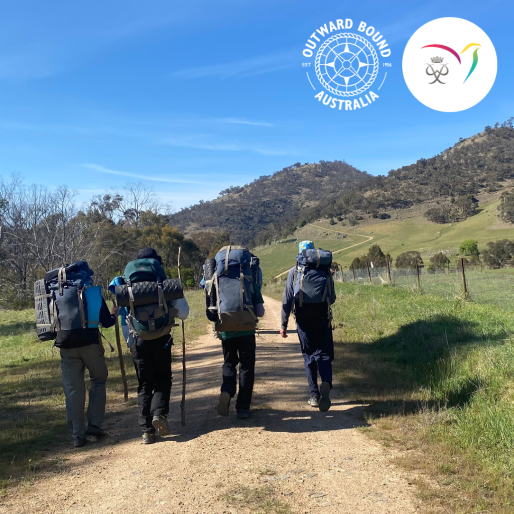
This Double Gold Duke of Ed Adventurous Journey completes both your practice and qualifying journeys over 6 days, 5 nights.
That’s right, due to the challenges we’re all facing with COVID-19, the Duke of Edinburgh’s International Award has deemed a Gold Practice Journey may be undertaken over 1 night 2 days if all these criteria are met:
- Demonstrated competence by the group in the mode of travel and the environment (location) and conditions (time of year)
- Demonstrated overnight simple self-catering/camping experience
- Demonstrated positive team dynamics
- Agreed to by the Adventurous Journey Assessor
- Approved by the Award Leader IN ADVANCE. This is very important! Your Award Leader might like to read this information on the Duke of Ed Australia website before approving your journey.
Download the Itinerary for more information.
The registration fee for your Gold Duke of Ed Adventurous Journey includes:
- Two fully supervised hikes: Practice and Qualifying
- Maps for use during the hike
- Group emergency communications
- Camping fees
- National park fees
Please bring $4.30 in cash for the ferry. It does not accept Opal Card.
SUPERVISORS
Supervisors are qualified in First Aid, have Working with Children clearance and carry emergency communication equipment. They all adhere to the Duke of Edinburgh’s International Award Volunteer Code of Conduct.
MEETING PLACE
Thornleigh Station
The Esplanade
Thornleigh NSW 2120
GPS: -33.731714, 151.078044
There is a park on the western side of the station. We will meet in the park, under the trees.
MEETING TIME
9:00am
END POINT
Wondabyne Station
Wondabyne is the only train station in Australia that does not have road access.
GPS: -33.492224, 151.256939
END TIME
Between 12pm and 2pm, depending on group decisions
PUBLIC TRANSPORT
We recommend you use public transport to travel to and from your adventurous journey. We have designed this route specifically for this purpose. Check https://transportnsw.info/ for train times to Sydney or Central Coast and Newcastle.
DRINKING WATER
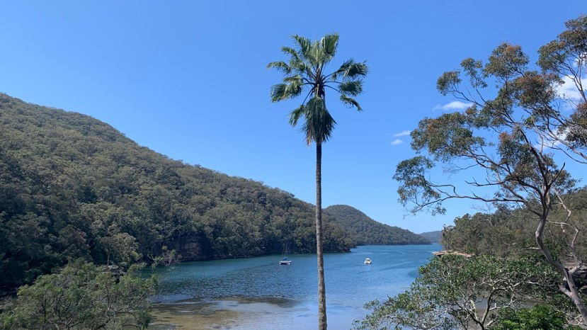
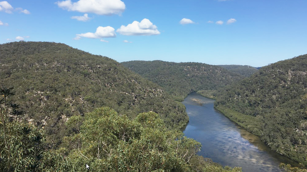
We recommend drinking 3 litres of water per day plus 1 litre to cook with at night. 1 litre of water weighs 1 kg. Please keep this in mind when packing. You can adjust this after the first day depending on your water intake. Tap water is available at camp on Day 2, lunch on Day 3, early morning Days 4 and 5 (Day 3 of qualifying). We anticipate creek or dam water being available every day, but this is never certain. Water from creeks or dams needs to be treated.
CREEK CROSSINGS
Creek crossings occur every day but the water level should be low enough to keep your feet dry. Supervisors will make decisions on creek crossings in the field.
TOILETS
Flush toilets are available at our campsite on the second night, lunch on Day 3 and the morning of Day 5 (Day 3 of qualifying). At all other times toilet waste must be buried and you will need to bring a trowel for this purpose.