Duke of Ed, Gold: Ku-ring-gai to Wondabyne, Great North Walk
| Dates |
Currently unavailable
|
|---|---|
| Region | Ku-ring-gai to Wondabyne, Sydney, nsw |
| Program |
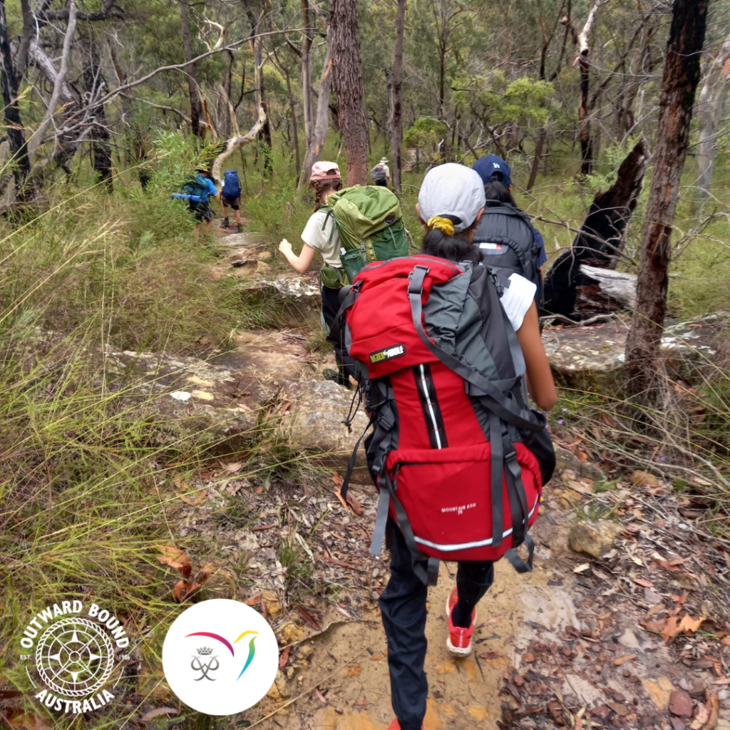
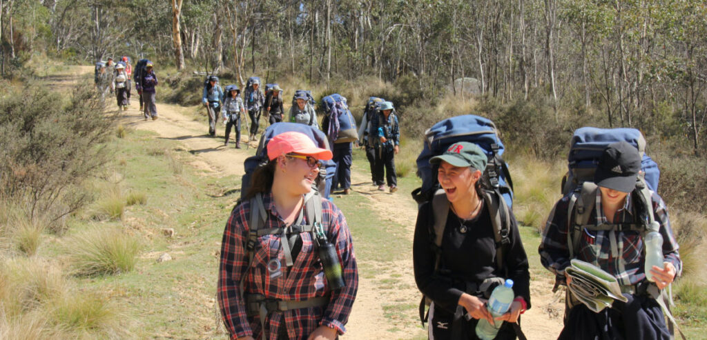
Hike your Gold Duke of Ed Adventurous Journey with Outward Bound Australia to achieve your goals! All dates are suitable for Practice or Qualifying participants. They are not exclusive.
SUPERVISORS:
Supervisors are qualified in First Aid, have Working with Children clearance and carry emergency communication equipment.
MEETING PLACE:
Mount Ku-ring-gai Station
Mount Ku-ring-gai NSW 2080
GPS: -33.652414512700965, 151.13681368465757
MEETING TIME:
9:00am
END POINT:
Wondabyne Station
Wondabyne is the only train station in Australia that does not have road access.
GPS: -33.492224, 151.256939
END TIME:
Between 12pm and 2pm, depending on group decisions .
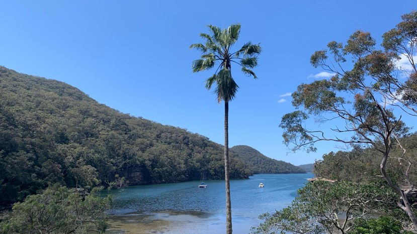
Day 1: Mount Ku-ring-gai to Berowra Heights (Turner Rd Campsite)
Distance: 10km.
Grading: Moderate, some hard.
GPS coordinates of campsite: -33.593828,151.135238
We’ll stop at Berowra Waters use the toilets at lunch, and top up water if necessary. The bush campsite is one-two hours past Berowra Waters after a steep up and down and does not have water. Participants will need to carry water for the afternoon and evening of Day 1 and the morning of Day 2. There are no toilets at this campsite and all waste needs to be buried.
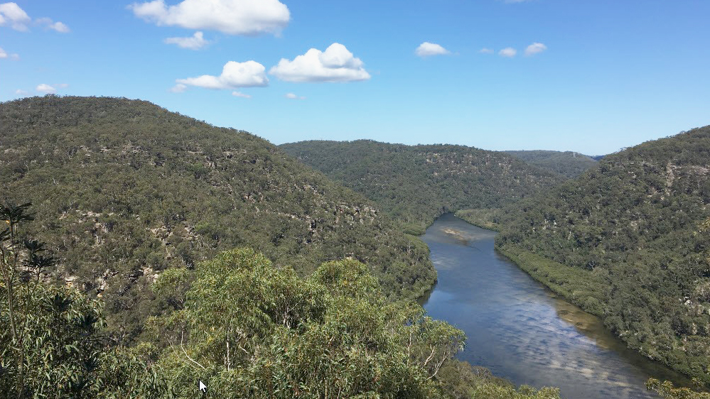
Day 2: Berowra Heights to Brooklyn Dam
Distance: 17km.
Grading: Hard
GPS coordinates of campsite: -33.554702, 151.207155
This is the longest, steepest and hardest day. Drinking water is available at Cowan station an hour or two after leaving camp. There is a dam near Brooklyn where you can swim and refill water, if necessary. Water needs to be purified. There are no toilets at this campsite and all waste needs to be buried.
Day 3: Brooklyn Dam to Mt Wondabyne
Distance: 15km
Grading: Hard
GPS coordinates of campsite: -33.496059, 151.274536
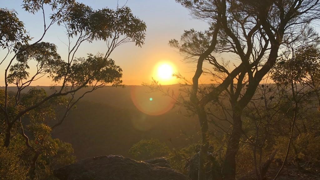
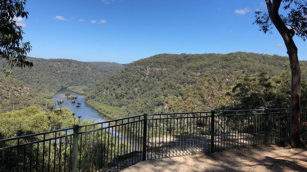
After a short walk to Brooklyn where we can use the toilet and refill water, we’ll catch a ferry across the Hawkesbury River to Little Wobby and reenter the bush at Patonga. We can either camp beside Mt Wondabyne and enjoy 360° views of the sunset / sunrise or continue a bit further to Kariong Brook Falls, it’s up to you as a group. There is creek water a short distance past both campsites but none at the actual campsites. There are no toilets and all waste needs to be buried.
Day 4: Mt Wondabyne to Wondabyne Station
Distance: 10km
Grading: Hard
Kariong Brook Falls offers a great spot to enjoy an Aussie bush waterhole in the morning but, as with all waterways, it’s at the bottom of a gully. Climbing the hill out of this will get the blood pumping before dropping downhill again to Wondabyne Station.
You need to bring all the food and gear you require for the entire journey. The registration fee for your journey DOES NOT include:
- Tent
- Sleeping bag and mat
- Stove and food
- Backpack
- Compass
- Other personal items
PUBLIC TRANSPORT
We recommend you use public transport to travel to and from your adventurous journey. We have designed this route specifically for this purpose. Check https://transportnsw.info/ for train times to Sydney or Central Coast and Newcastle.
DRINKING WATER
We recommend drinking 3 litres of water per day plus 1 litre to cook with at night. 1 litre of water weighs 1 kg. Please keep this in mind when packing. You can adjust this after the first day depending on your water intake. Tap water is available at camp on Day 2, lunch on Day 3, early morning Days 4 and 5 (Day 3 of qualifying). We anticipate creek or dam water being available every day, but this is never certain. Water from creeks or dams needs to be treated.
CREEK CROSSINGS
Creek crossings occur every day but the water level should be low enough to keep your feet dry. Supervisors will make decisions on creek crossings in the field.
TOILETS
Flush toilets are available at our campsite on the second night, lunch on Day 3 and the morning of Day 5 (Day 3 of qualifying). At all other times toilet waste must be buried and you will need to bring a trowel for this purpose.
